|
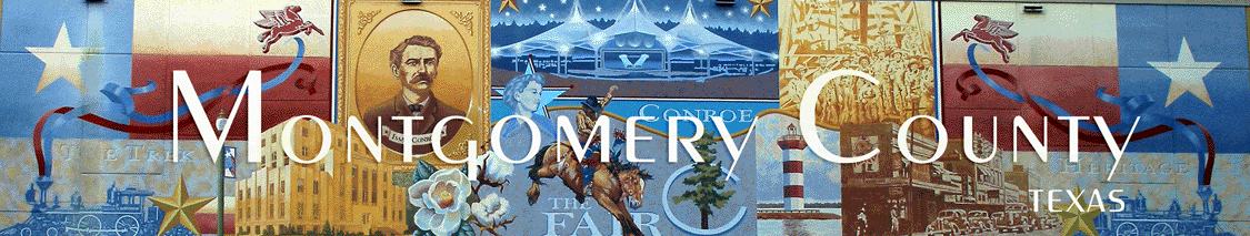
Montgomery County Texas
Towns
Past & Present
|
|
Excerpts from “A History of Montgomery County, Texas” Chapter V, Cities,
Towns, and Communities,
by William Harley Gandy”: |
|
|
|
Through its history
Montgomery County has had its share of towns and communities. Some are
now ghost towns, while others live only in the minds of the old timers
who remember something once said about them. And too, a few have been
sawmill towns which lived as long as the timber which made them lasted.
Some failed to survive because a railroad or highway by-passed them, or
because an industrial change occurred. But for these reasons, for every
community that became extinct, another seemed to spring up in its place.
|
|
Within the original
bounds Montgomery County had such historical towns as, Cincinnati,
Huntsville, Waverly, Robbin’s, Old Trinidad (Spanish Bluff), Groce's,
Fanthrop's, Navasota, Coldspring, Swartout, Point Blank, and many
others. These towns were separated from Montgomery County when the new
counties in which they were located were formed from Montgomery, but
even after Montgomery was divided she had many communities left. Some of
these communities, many of which are extinct today, are as follows:
Boggy, McRae, Dobbin, Bobbin, Hartley, Peach Creek, Lake Creek, Bethel,
Mink, Pleasant Grove, Caney Station, Newleaney, Morrisville, Bear bend,
Longstreet, Oklahoma, Lost Cane Brake, Hunters Retreat, Deckers Prairie,
Goodson Prairie, Mount Pleasant, Panther Branch, Brantley, Presswood,
Danville, Waukegan, Honea, Ada, Esperanza, Union Grove, Tamina, Rose
Hill, Clinesburg, Beach, Willis, Timber, Montgomery, Conroe, Magnolia,
Tharp, Youens, Butlersburgh, Pools, Dacus, Fostoria, Cut 'n Shoot,
Pinehurst, Karen, Jackson, Bobville, Rayford, Porters, Security,
Midline, Splendora, Boy, Four Corners, Granger, Wigginsville, New Caney,
Cowl Spur, Bunn, Leonidas, Keenan, Bays Chapel, and Ventura. Only a few
of these communities will be considered in this study, though it is with
regret that the author can not give an account of each. Several are
treated including the important towns of today, an early town, a ghost
town, a sawmill town and some communities of unusual interest.
|
|
|
|
Old Towns Near West Fork
Of The San Jacinto River
From
Heritage Museum of Montgomery
|
|
The
West Fork of the San Jacinto River rises seventeen miles west of
Huntsville in western Walker County (at 30°39' N, 95°51' W) and flows
southeast ninety miles through Montgomery County to its confluence with
the East Fork of the San Jacinto River on the northern rim of Lake
Houston in northeastern Harris County (at 30°02' N, 95°09' W). The river
was dammed in the early 1970s to form fifteen-mile-long Lake Conroe
(Honea Reservoir) in Montgomery County. Gathering more than 400,000
acre-feet of runoff annually, the West Fork of the San Jacinto is more
than twice as large as the East Fork; including the San Jacinto River
proper and both branches, the entire system's drainage area comprises
4,000 square miles. Gently sloping to nearly level terrain is surfaced
by loam and clay which support patches of loblolly pine-sweetgum,
loblolly pine-shortleaf pine, water oak-elm, pecan-elm, and willow oak-blackgum
woods on the banks of the river. The creek's middle course flows through
western Sam Houston National Forest.qv Principal tributaries
include Neely Spring Branch, McGary Creek, West Sandy Creek, Robinson
Creek, McDonald Creek, East Sandy Creek, Little Caney Creek, Lake Creek,
Little Lake Creek, Spring Creek, and Cypress Creek. The narrowness of
the channel and the limited volume of water in the upper course of the
river restrict its recreational uses, despite its generally high water
quality and the scenic character of the countryside it drains. Below
Lake Conroe Dam, however, there is normally a sufficient flow to permit
rafting and canoeing. Moreover, Lake Conroe itself, a 21,000-acre
municipal reservoir only twenty-seven miles from Houston, has become one
of the most important recreational areas in southeastern Texas.
|
|
In
the mid-eighteenth century the Spanish governors of Texas competed with
French adventurers for control of trade with the Orcoquisac Indians
living on the lower reaches of the West Fork of the San Jacinto River.
Anglo-Americans began to settle on the lower course of the river in what
became Montgomery County in the early 1820s, and in 1824 the San Jacinto
was formally declared to be the eastern boundary of Stephen F. Austin'sqv
colony. The agricultural community of Loma was founded on the west bank
near the headwaters in the early 1880s. Wesley Grove has been located on
the west bank of the upper river since the early 1900s. Galilee had the
Houstonian Institute, a black industrial school, on the east bank of the
upper river in the late nineteenth century. The Goshen community has
been located on the west bank since the early 1840s. The town of San
Jacinto was founded on the west bank in the 1850s. Farris was
established on the west bank in the early 1840s. Union Hill was founded
on the east bank in the early 1870s, and Bath has been there since the
1880s. The towns lining the river's lower course below Lake Conroe have
increasingly grown into bedroom communities of Houston. Conroe was
established as a lumber mill village on the east bank in the early
1880s. Leonidas was founded on the west bank of the lower river in the
1870s. Grangerland became an oil boom town on the east bank in the early
1930s. During the mid 1960s, Oak Ridge North was established on the west
bank of the lower river; Panorama Village and River Plantation were
founded on the east bank. Moonshine Hill was established on the west
bank near the river's mouth in the early twentieth century. Humble,
founded on the west bank of the lower river in the 1880s, became an oil
boom town in the early 1900s.
|
|
BIBLIOGRAPHY: An Analysis of Texas Waterways (Austin: Texas Parks
and Wildlife Department, 1974). D'Anne McAdams Crews, ed., Huntsville
and Walker County, Texas: A Bicentennial History (Huntsville, Texas:
Sam Houston State University, 1976). Montgomery County Genealogical
Society, Montgomery County History (Winston-Salem, North
Carolina: Hunter, 1981). Walker County Genealogical Society and Walker
County Historical Commission, Walker County (Dallas, 1986). WPA
Writers Program, Houston (Houston: Anson Jones, 1942) |
|
Click below for more information on some of the
towns in Montgomery
County Texas:
|
| Home |
Top of Page |
|
Vote Montgomery County TXGenWeb County of the Month